
12 High Street
Current
12
High Street
Lowestoft
United Kingdom
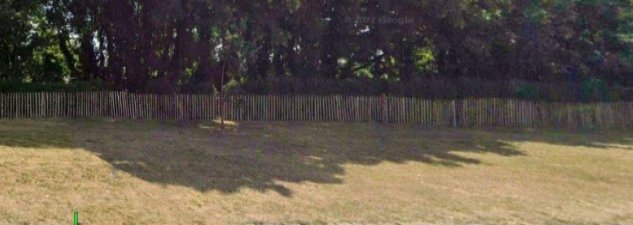
The Town Green was originally a northward extension of the High Street but the space on which the green now stands was created out of property destruction and damage caused by WW2 air raids, and one devastating raid in particular in May 1943. CREDIT:Andy Pearce
See also Lost End of High St
History


No12 in 1865 was Mrs Mary Hunt, Lodging House.
At 12 High Street we have William Roll and family - marine store dealer and a boarder:
Revd Cyril Herbert Harvey - clerk in Holy Orders CREDIT: 1911 census
See also Lost End of High St
————————
NOTES ON No. 11 and 12 HIGH STREET:
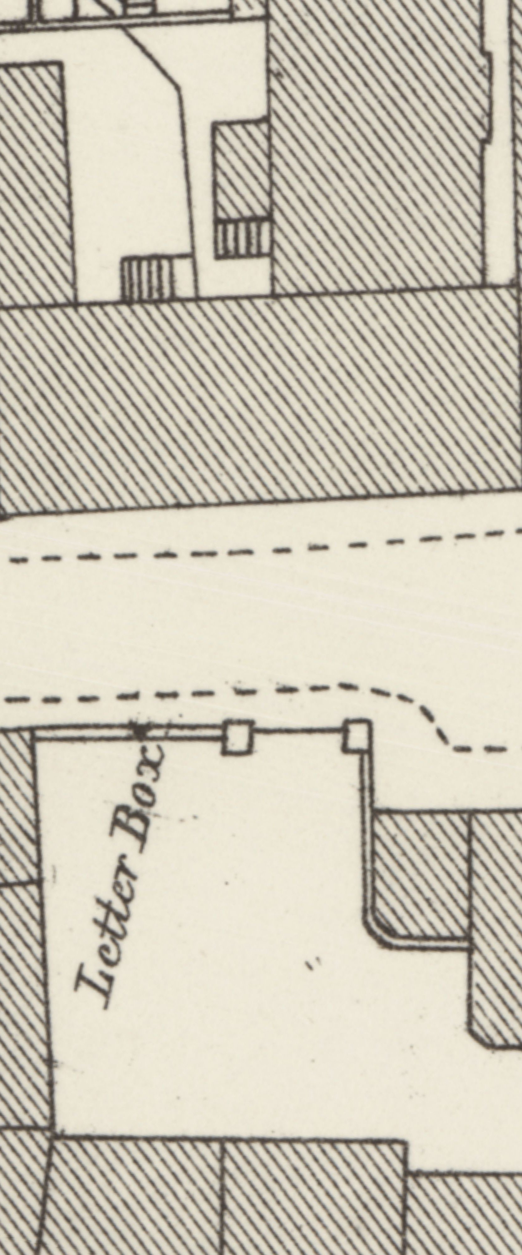
The 1841 Tithe Apportionment for Lowestoft describes this property as being a “House and Garden”. However, two occupiers are listed namely a “Widow Ward” and James Taylor. At this time houses in High Street were not numbered as they would later be and are today. In all probability the house was sub-divided hence the two separate tenants and it seem likely that that widow Ward lived in what would later become No. 12 High Street. James Taylor was a book-binder by trade and he lived there with his wife Mary Ann. Later records indicate that Mr. Taylor possibly occupied what would be numbered 12 High Street and not No. 11. The evolution of Nos. 11 and 12 is difficult to unravel. However, the only photograph of both properties, taken just before their demolition after World War 2, seems to indicate that No. 12 was built as an extension to No. 11 which itself probably dates from the late 18th century.
When the census was taken in 1861 High Street houses were numbered for the first time and there is no No.11 listed only No. 12. The tenant when the census was taken is noted to be one Edmund Hickling, Curate of St. Margaret’s Church who lived there alone with two domestic servants. It would seem then that the divided house of 20 years early was no longer sub-divided and that Nos. 11 & 12 were probably seen as one. Forward ten years to the 1871 census and this is recognised when Nos. 11 and 12 High Street are listed as one property occupied by Mary Hunt who was running the double property as a lodging house. In 1881 when the census was taken No. 11 is listed as being unoccupied as is No. 12. A Lowestoft Street directory of 1886 lists Nos. 11 and 12 with separate tenants, the former being occupied by a “Miss Mulloch” and the latter by “the Misses Whiting”.
In 1891 both properties are listed as unoccupied in the census that year. Forward another decade and the two properties seem to have been consolidated into one again as Nos. 11 & 12 are recorded as being occupied by William J. Roll and his family, however when the 1911 census was taken, William Roll, a self-employed “marine store dealer” is listed as living at No. 12 High Street but No. 11 is not listed! The property was large as it contained 12 principal rooms, so in all probability at this date Nos. 11 and 12 are still undivided. As with other properties in the vicinity Nos. 11 and 12 were demolished after the 2nd World War. CREDIT:Ivan Bunn
——————-
[Nos. 29 occupied the cleared ground-space of former Nos. 11-12 High Street.] - full list here
29. Henry Robotham – in right of wife Elizabeth (widow of Thomas Manning), one house formerly divided into two tenements, with a yard and with the use of a passage into the street on the north side of No. 27. Between No. 27 on the north and No. 31 on the south, abutting onto the High Street to the west and No. 30 to the east. Rent, 5d. per annum.
*The Latin extracts refer to two messuages of unequal size and to a piece of land 100 feet long by 33 wide (west) and 39 feet wide (east) – both sold separately and later consolidated.
*The Manor Roll of 22.12.1618 shows that Nos. 27, 28 & 29 were formerly two tenements in the occupancy of Thomas Ward, at a combined rent of 1s 6d. per annum.
Whole messuage.
• Diana Bocking, on surrender of Thomas Batchelor – 1.6.1653.
Houses.
• John & Elizabeth Stanford, on surrender of Diana Bocking – 15.12.1658.
Piece of land.
• Robert Brissingham, on surrender of John & Ann Stanford – 27.5.1657.
• John Stanford, on surrender of Robert Brisssingham – 27.4.1670.
Whole messuage.
• John & Ann Stanford – 15.12.1658 & 27.4.1670.
• Henry Ward, on surrender of John & Ann Stanford (mortgage for £23) – 11.3.1691.
• Thomas & Elizabeth Manning, on surrender of John & Ann Stanford – 30.7.1707.
CREDIT:David Butcher
Architecture
Add new comment