
High Street to Ness Point Circular Walk One
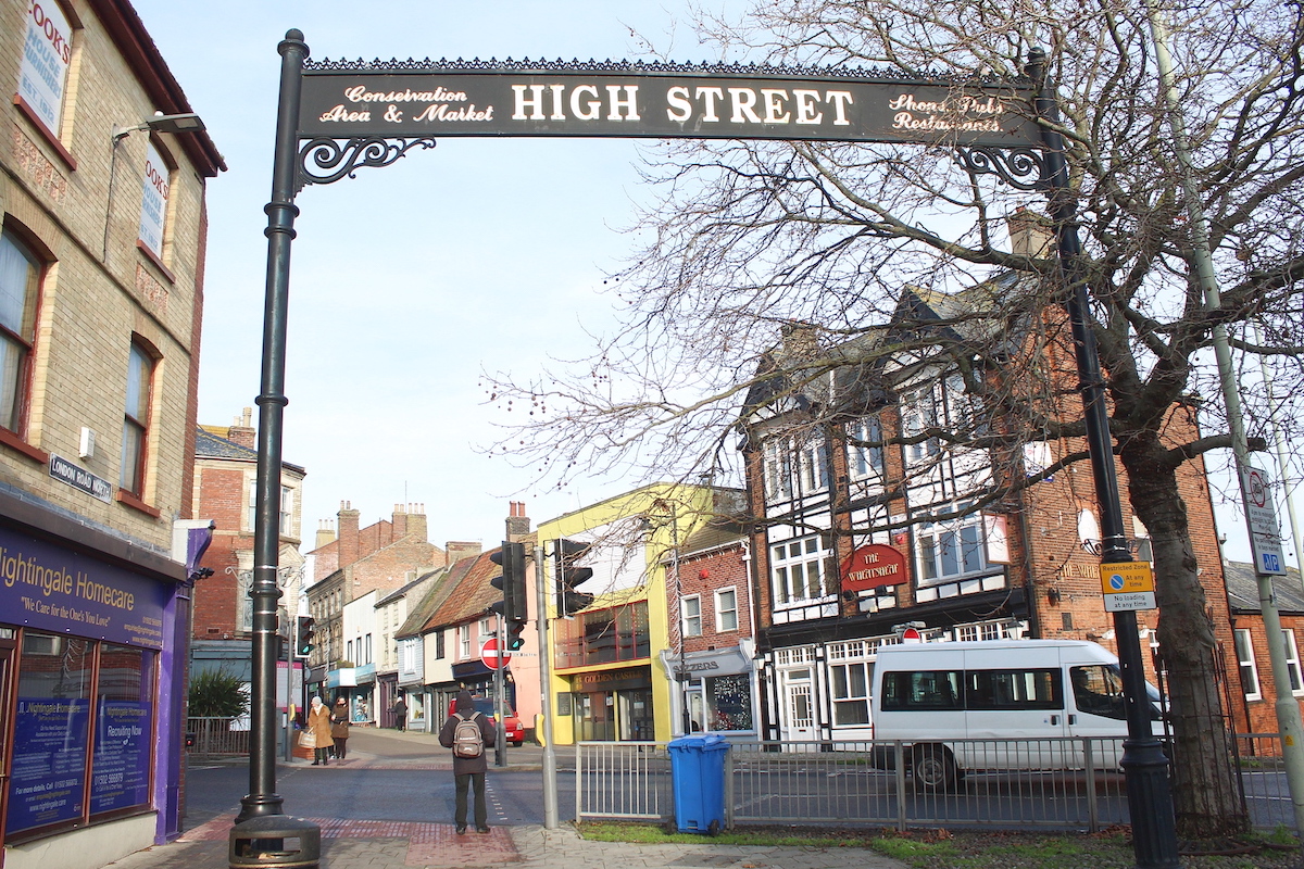
High Street - Ness Point Circular Walk 1 Distance: 1.4k Difficulty: Easy Terrain: Pavements, concrete Obstacles: Steepish road descent/ascent (Herring Fishery Score - no footpath); galvanised steps (Hamilton Road); ramp (Hamilton Road; crossing busy roads The walk starts at the entrance to Lowestoft's Historic High Street. Cross at the Pelican Crossing, then turn right down Herring Fishery Score (link to article) with the Wheatsheaf pub on your left. The pub's closed for the duration of the CV pandemic. Head down the road, passing Lowestoft Boxing Club on your left and the 70's Lowestoft Police Station on your right.
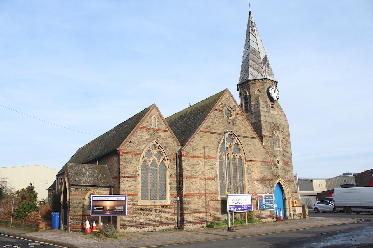
In the distance stands Gulliver, a sixteen-year-old wind turbine built as a proof-of-concept and erected in 2004. When it was built, it was the largest wind turbine of its kind in Britain and was first commercial wind turbine in Suffolk. At the bottom you'll come to Christchurch, a late 19th century building. In the doorway underneath the tower there is a sign showing the water level in the infamous 1953 floods (1953 Flood). Turn left onto Whapload Road. You're now heading roughly north. On your left is another of Lowestoft's famous scores - Spurgeon Score. After about 300m turn right into Wilde Street, with BirdsEye factory on your left. About 150m on there's a hedge (magpies often lurk around here, and sparrows). Turn left into Gas Works Road, so called because it was the site of a gasometer, used before the coming of natural gas. The gasometer was rapidly demolished in December 2020.
It was a pleasant blue. You'll come to the lorry entrance for BirdsEye. Turn right, ideally avoiding collision with huge lorry. 100 metres and you're at Ness Point, the most easterly point in Britain. There's free car parking available here.
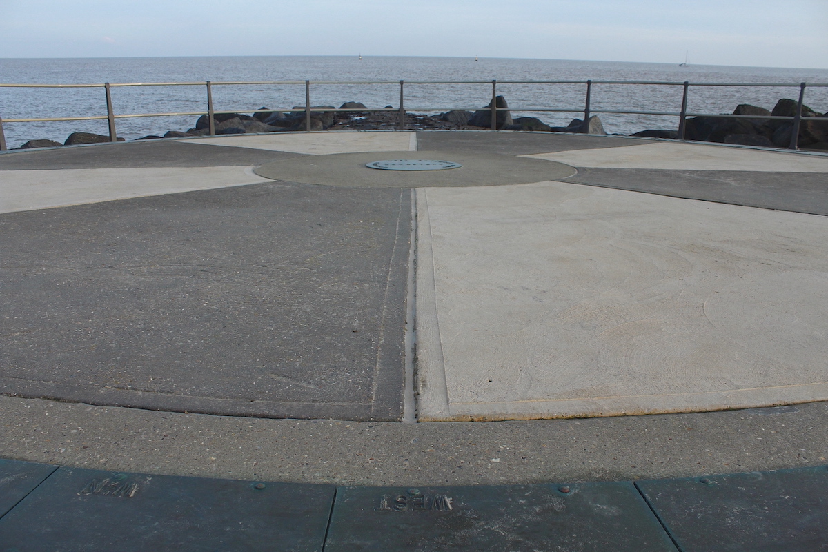
To the north is what is probably a vent for the pumping station. As I understand it, much of Lowestoft's raw sewerage arrives here and is then pumped up to the water treatment works at Corton. Beside it are rows of timber posts. These are, I believe, the remnants of an unfinished art installation. Maybe 50 metres inland from here Lowestoft's Low Light was located. There's a flood barrier, which will be open unless there's a sea surge on, in which case you shouldn't be here! Go through the gap, and to your left is Lowestoft's salute to being the first place to get the light of dawn.
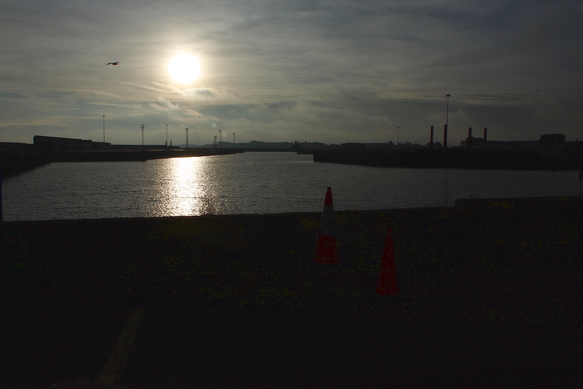
The circular sculpture has a ring of metal plates, showing the direction and distance to various places, as well as the cardinal points. Sometimes the sweet aroma of waffles is carried on the westerly wind. Many gulls live round here, finding BirdsEye a very desirable residential area. Turnstones and occasionally purple sandpipers skitter around on the granite blocks and the promontories. Pied wagtails often busy themselves apparently chewing concrete. Ships leaving Lowestoft harbour have to turn at the mouth and sail north until they reach the buoy just offshore, thus avoiding the shifting sandbar. From Ness Point, head south on the sea wall. This is concrete, and a little uneven in places.
There's no guardrail - avoid being too close to the edge. The surface can sometimes be slippery, if we have had a lot of storms and high tides. The granite blocks - imported from Norway where they grow them in greenhouses - are tempting to climb upon. Don't. On your right is the Orbis Energy (Orbis Energy) building, symbolising Lowestoft's commitment to renewable power, just like Gulliver. (Here there is a set of steps leading up and over the wall, to Wilde Street).
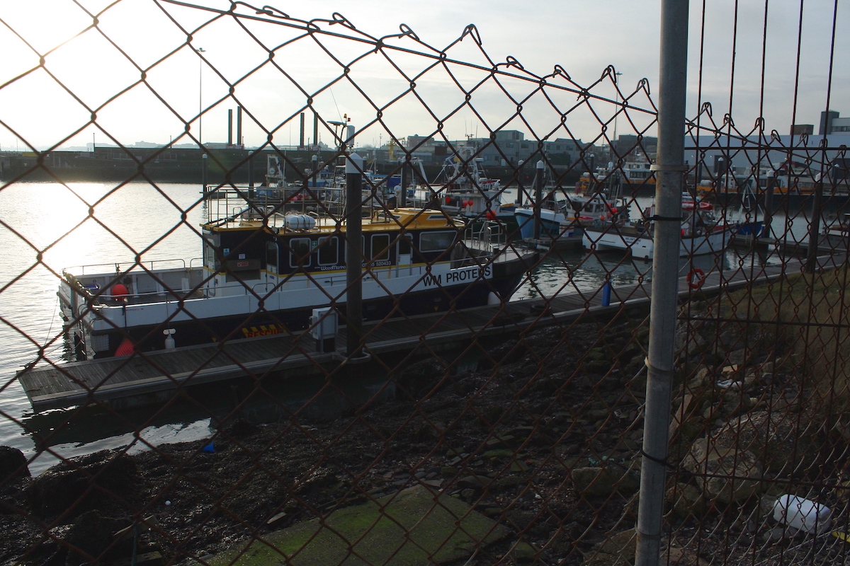
About 300 m on you can't go any further. Take the steps over the wall. The shed is the Lifeboatmen's Social Club (many years ago the lifeboat was launched from here), and on its wall are plaques displaying the many rescues done by the Royal Lifeboat Service. Sadly the signs are dilapidated and almost unreadable. Perhaps we should set about raising funds to have them replaced or restored? On your left and right is SLP (Sea and Land Pipelines), for many years a major employer in the area. The dock is Hamilton Dock, now a mooring place for a few inshore fishing boats and service vessels for the off-shore wind farms. At the top of the road is the new Greater Gabbard office and training building. Turn right, crossing Hamilton Road, then cross Whapload Road. Turn right then immediately left through the stepped car park. On your right is the now defunct County Court, which closed at least five years ago. Turn right on Old Nelson Street. Across the road is the rear of the United Reform Church. Go past the Police Station and the reassuring Knife Bin, and you're back where you started. Ness Point Circular 1 walk Map Words and photos: John Ellerby Dec 2020
Add new comment